
MONITORING
Add value to monitoring processes
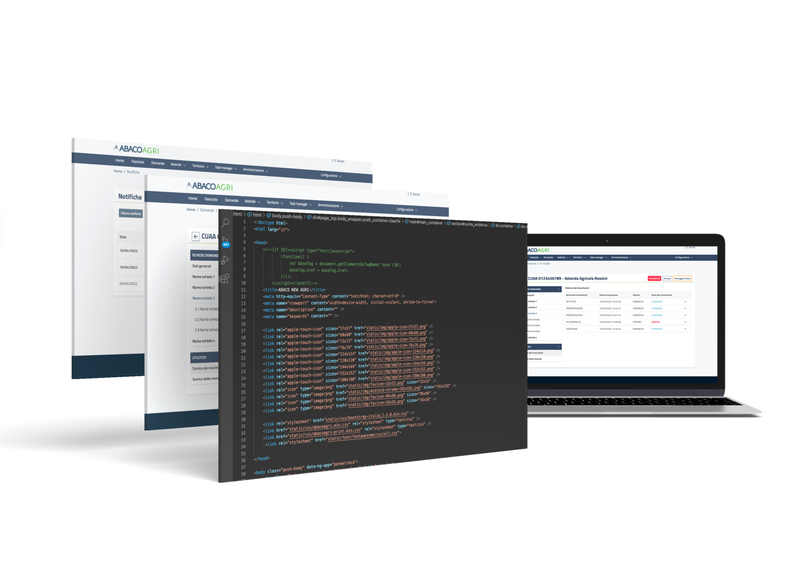
Verification of compliance through monitoring
We create scalable field knowledge through geospatial intelligence applied to big and open data combined with existing data; by using satellite technologies and on the spot checks we collect data to monitor crops and the environment.
Some specific applications related to monitoring
Geophoto
ABACO GEOPHOTO is a simple, CAP-compliant “point-and-shoot” mobile application that enables certified, secure and geo-referenced photographic evidence to be obtained from field inspectors or the community, improving quality and reducing costs of inspections, audits and reports. The tool also makes it possible to initiate administrative proceedings, simplify and streamline the organization of work and obtain immediate communication.
The mobile application is configurable and flexible and can be used for any activity requiring photographic evidence. By certifying photographic evidence, it allows the end user to be safely involved in the inspection process, being compliant with regulations.
Geophoto received an award from the Joint Research Centre of European Commission as one of the most advanced solutions 2020.
Allows:
Requests
to store, send or share certified photos
Taking
of guided photographs with correct perspective and position
Addition
of activities and tasks on the map
Displaying
of data in augmented reality
Analysis
of results
Chat
with users
Examples of specific applications related to monitoring
Geo-monitoring
The solution allows a reading of a defined territory in a given time period for the verification of an event/activity (activity, agriculture, desertification, deforestation), using geospatial intelligence applied to big and open data, combined with proprietary data from different sources. The data is processed by choosing from a catalogue of customised or standard algorithms. The solution manages algorithms, recognises features, exposes the generated attributes and enables interpretation of the result with an intuitive user interface. Geo-monitoring streamlines financing processes for agriculture, environment and land. The solution is scalable and facilitates increased effectiveness of analysis and activities on the ground, in order to make informed decisions using a wide range of data, managing processes in an innovative way, thanks to information derived from processing data from different sources.
The solution has been awarded by the US Geospatial Intelligence Foundation.
Allows:
Coordination
of monitoring systems
Connection
to import large data sets
Integration
to data and systems in use
Access
to all algorithms
Transformation
of data, indices and analyses into useful information for specific activities
Reducing
of time for verification, processing and delivery of services